
Little River Blueway Map
What is a Blueway? A blueway is a marked trail along a navigable body of water such as a lake, river, coastline, or canal that is used for recreational purposes. This means it marks a clear path through a waterway were the public can enjoy recreational river activities that usually do not involve a motorized boat.
A Blueway Map is a map that encompasses a particular blueway. Ours shows Little River’s Blueway.
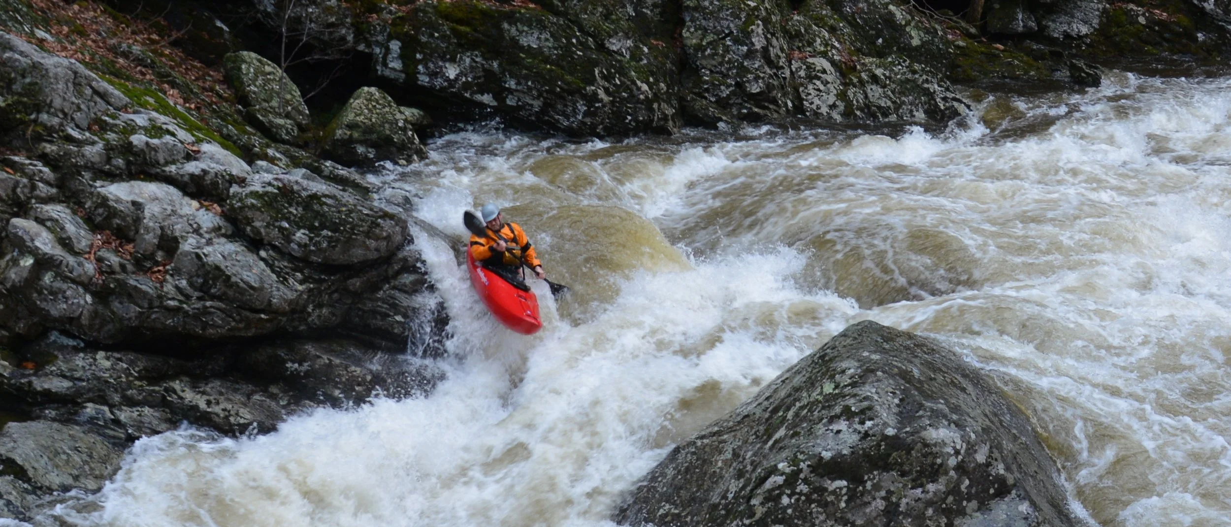
Why did we create one for the Little River? It’s simple, Little River is a great river to recreate on in all kinds of different ways. You can flat water kayak, paddle board, swim, float, tube, fish, white water kayak, you name it! We wanted to create a free resource for anyone that would want to hang out on the Little River to find camp sites, public parking, boat ramps, or popular swim spots.
Access the full version of the Little River Blueways map via ArcGIS via the link below
Please remember to always use caution and personal best judgment when on the river. This map is for informational use only, Little River Watershed Association is not responsible for personal injury or property damage, or any legal violations that may occur when using the map.
Be sure to recreate responsibly if you use this map. Pack out all your trash and leave the river better than you found it.